Contact
Provider(s):
You must log in in order to see contact information. If you don't have an account, you can ask for one on this form.
Access to processed and analysis-ready Sentinel (Earth Observation) imagery
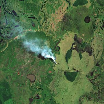
Earth observation data provided by the Sentinel satellites are revolutionizing the market of space applications. Sentinel-2A is producing thousands of high resolution scenes every day for almost a year now. These data are now openly accessible and Sentinel Hub service can provide you with high resolution imagery almost instantly after they are made available.
The Sentinel-2A 290km wide swath allows any part of earth surface to be revisited frequently. Mission provides a global coverage of the Earth's surface every 10 days, producing data of great use for several sectors.
Supported Use Cases
Monitoring based on continious satellite imagery

Illustrations
 |
Il sito web Portfolio of Solutions è stato inizialmente sviluppato nell'ambito del progetto DRIVER+. Oggi, il servizio è gestito da AIT Austrian Institute of Technology GmbH, a beneficio della gestione europea delle . PoS è approvato e supportato dal Disaster Competence Network Austria (DCNA) così come dai progetti STAMINA e TeamAware H2020. |