As an alternative to searching directly for solutions, you can also search for CM gaps and find out which solutions address the gaps you are interested in.
PDF export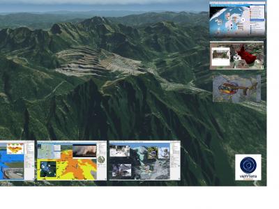
vieWTerra Evolution
vieWTerra Suite is a suite of products allowing responders to rapidly build a virtual 4D representation (3D synthetic environment+ Time dimension) of any potential Crisis area on Earth.
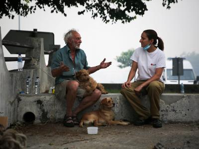
Scenario enabled Psychological First Aid (PFA) training
The scenario enabled psychological first aid (PFA) training comprises knowledge on what PFA is, guidelines on how to perform PFA and an experiential training package to.
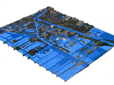
3Di - Water Management
3Di is a cloud-based versatile water management instrument that enables flood forecasting and risk mapping.
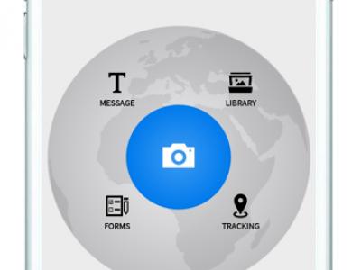
ASIGN
ASIGN is a solution that helps reduce emergency and disaster response time through the fast and efficient collection and communication of photos of videos even through limited bandwidth.
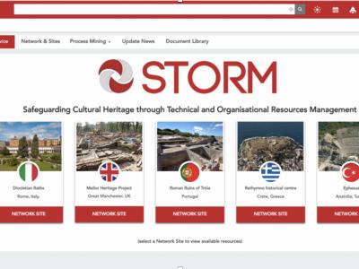
STORM
STORM Dashboard provides collaborative and operative services to better act in the prevention and intervention phases of a disaster
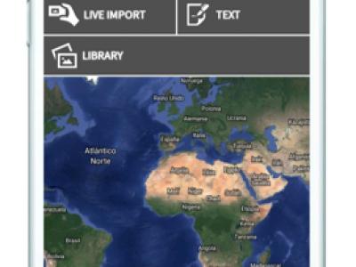
UAV-ASIGN
UAV-ASIGN is a software solution that helps reduce emergency and disaster response time by collecting and sending UAV photos and videos while in-flight even through low or constrained bandwidths.
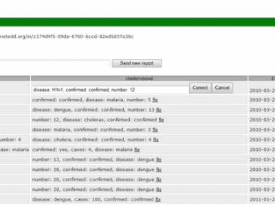
Seentags
Seentags accepts incoming text messages and breaks the contents up into categories, without requiring you to tell the system in advance what your categories ar
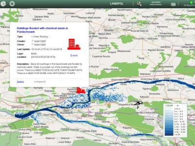
SOCRATES OC
SOCRATES OC enhances analysis and decision-making capabilities by means of an improved shared situational awareness based on relevant information about the operational situation including crisis events, missions and resources.
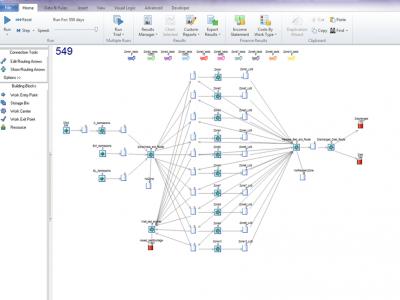
CHARM dynamiC Hospital wARd Management
dynamiC Hospital wARd Management (CHARM) is a discrete-event simulation (DES) that models dynamic reconfiguration of hospital wards for bed capacity planning facilitating continuation of normal Intensive Care Unit (ICU) operations during disease outbreaks.
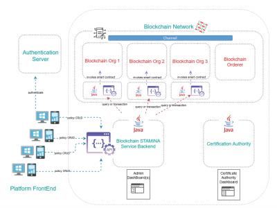
Information Protection and Secure Data Sharing Blockchain Tool
An access control policy management framework implemented by capitalizing on the Blockchain technology
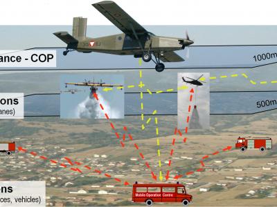
ARGUS Fire
Forest Fire/Wildfire management solution based on aerial multi-sensorsystem, data processing and resources management
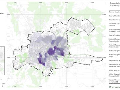
Debris Tool
The Debris Tool is a software based solution designed to amalgamate various defined inputs from the field, historic survey data and other sources, for the prediction and modelling of waste and debris removal options in a post-crisis environment.
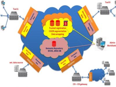
EPISECC CIS
Common Information Space as Enabler for Collaboration in Disaster Management
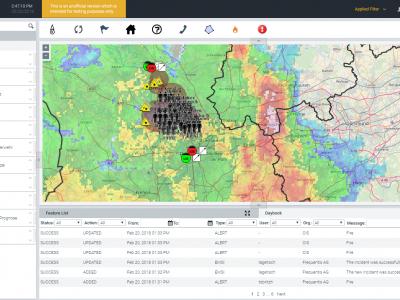
LifeX COP
LifeX COP is a web-centric multi-user Solution developed by Frequentis to address the lack of a Common Operational Picture in the field of Crisis Management.
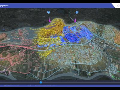
SIM-CI
SIM-CI provides an overview of the critical infrastructures (electricity, gas, water, telecom, internet, road, traffic networks) that will be affected by disruptive events such as floodings or a cyber-attacks.
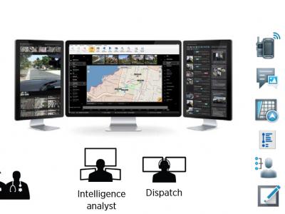
GINA
GINA System is a map software technology for computers, tablets and smartphones
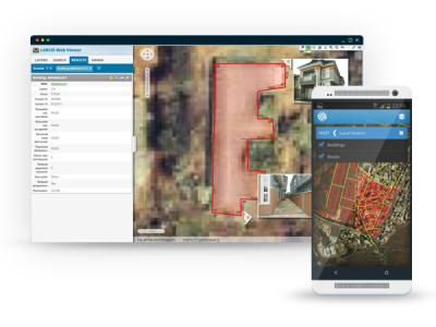
Field Data Collection
A data collection system which commonly involves dozens (if not hundreds) of people covering large, sometimes remote areas, gathering data about properties, owners and the environment
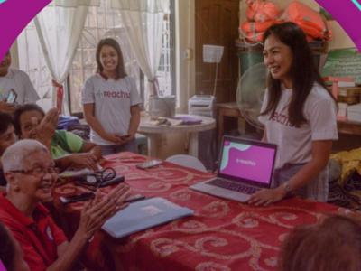
COVID-19 Information and Symptom Checker chatbot
If people know the facts and check their symptoms, they can be guided on when it’s necessary to isolate themselves, visit health facilities, or continue to follow recommended practices to slow the spread of the disease.

Satellite imagery archive within GIS in the Cloud
Access to processed and analysis-ready Sentinel (Earth Observation) imagery
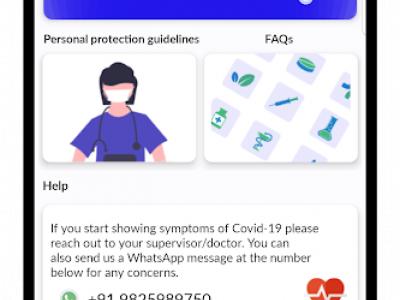
InteleSafe
An app and website for health workers to learn how to stay safe while on the job.
 |
Portfolio of Solutions web site has been initially developed in the scope of DRIVER+ project. Today, the service is managed by AIT Austrian Institute of Technology GmbH., for the benefit of the European Management. PoS is endorsed and supported by the Disaster Competence Network Austria (DCNA) as well as by the STAMINA and TeamAware H2020 projects. |